
Independent Benchmarks
for
Deforestation Maps
Know which maps you can trust. Science-based benchmarks that help mapmakers prove accuracy and give companies confidence in sourcing and compliance.
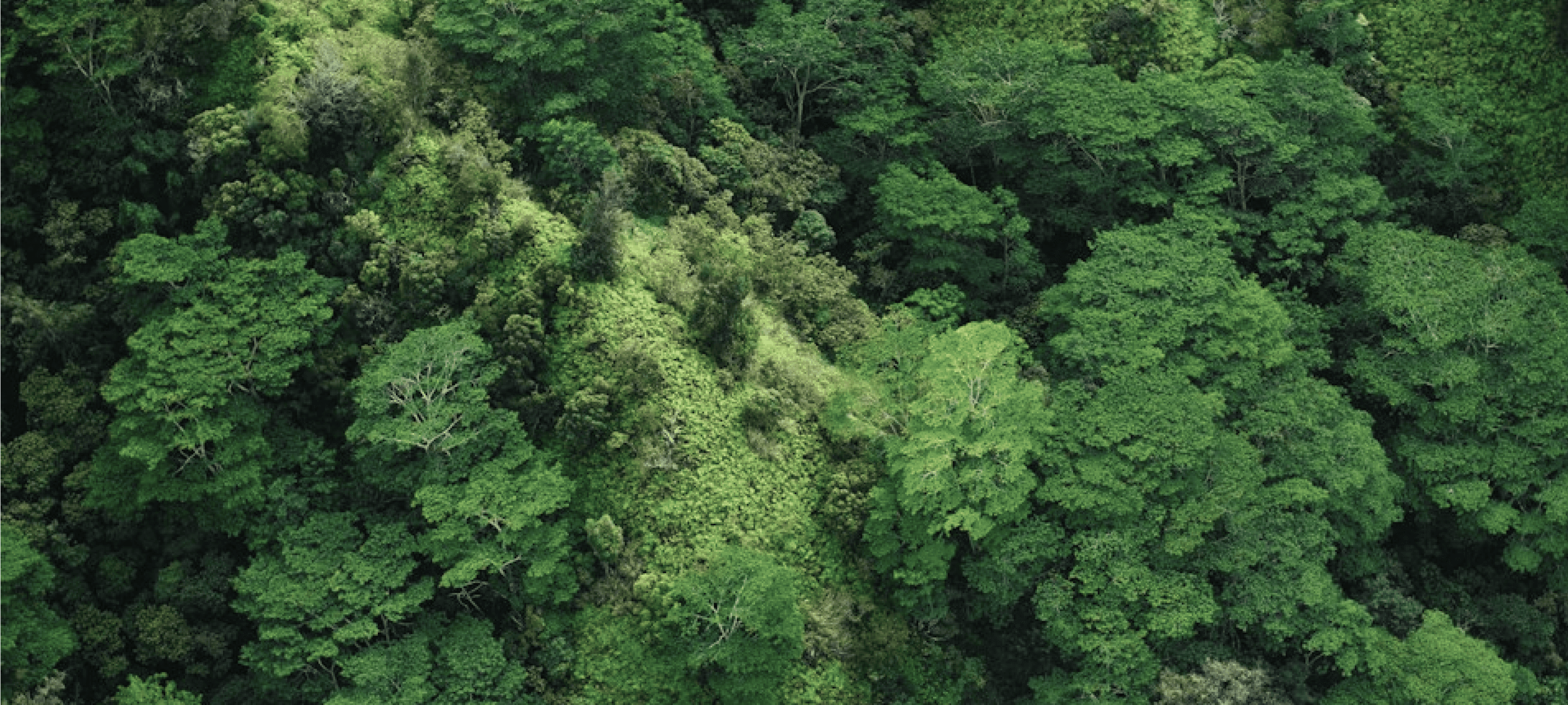
Map A
Forest detected
Map B
No forest detected
Accuracy
94%
Verified
Trusted by mapmakers and sustainability teams worldwide



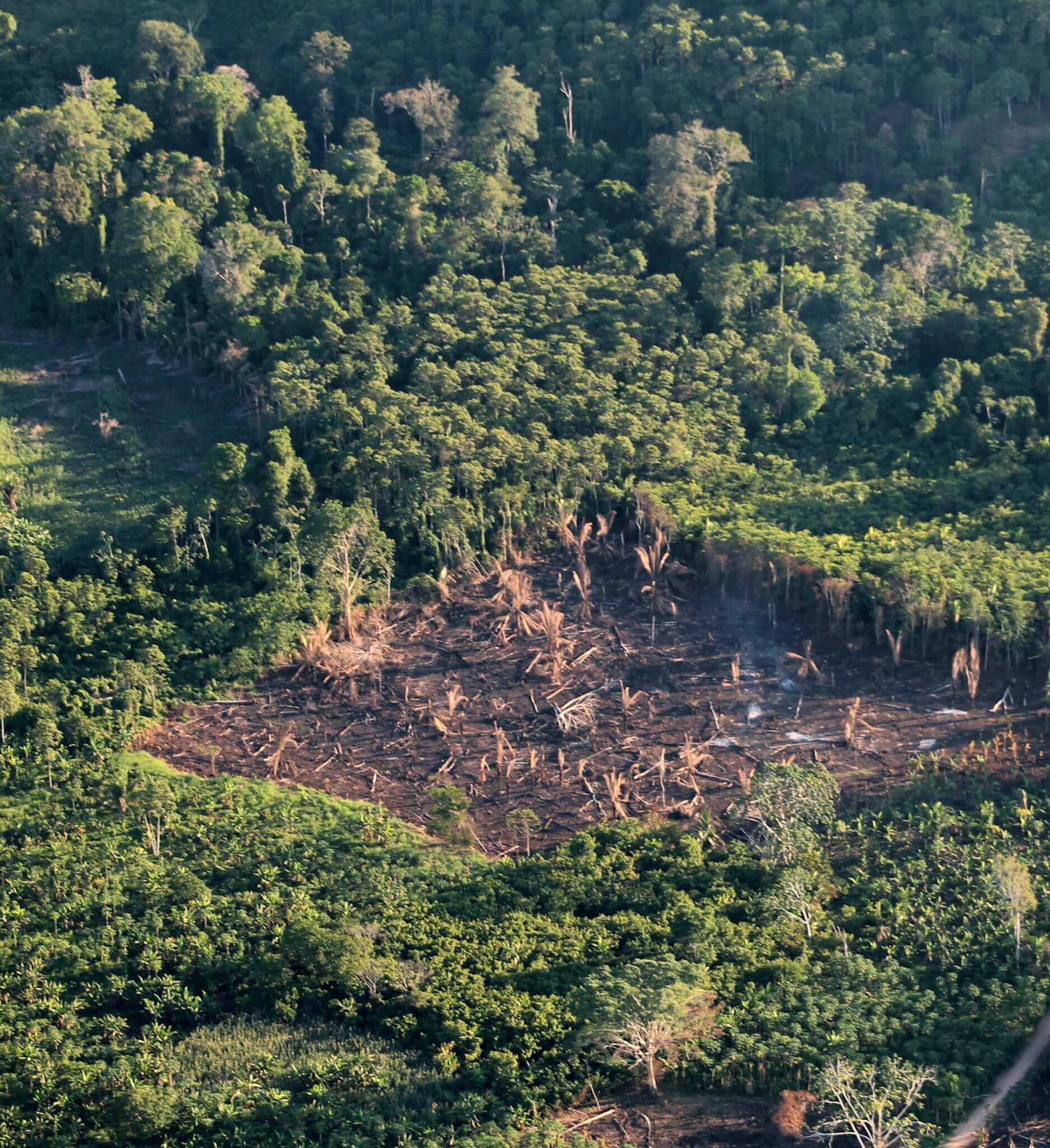
Gaps in your maps put sustainability at risk
Companies, governments, and mapmakers rely on satellite data to demonstrate deforestation-free sourcing. Yet different monitoring tools often report conflicting results for the same land. When accuracy is uncertain, risk increases.
Without independent benchmarks, it is impossible to know which maps to trust or how to improve them.
Trusted, Science-Based Benchmarks
Sample Earth provides the independent source of truth for land-cover and deforestation maps, helping you meet global standards while protecting social equity.
Organisations gain clarity
Make sourcing and compliance decisions with confidence.
Mapmakers gain credibility
Make sourcing and compliance decisions with confidence.
Farmers gain fair representation
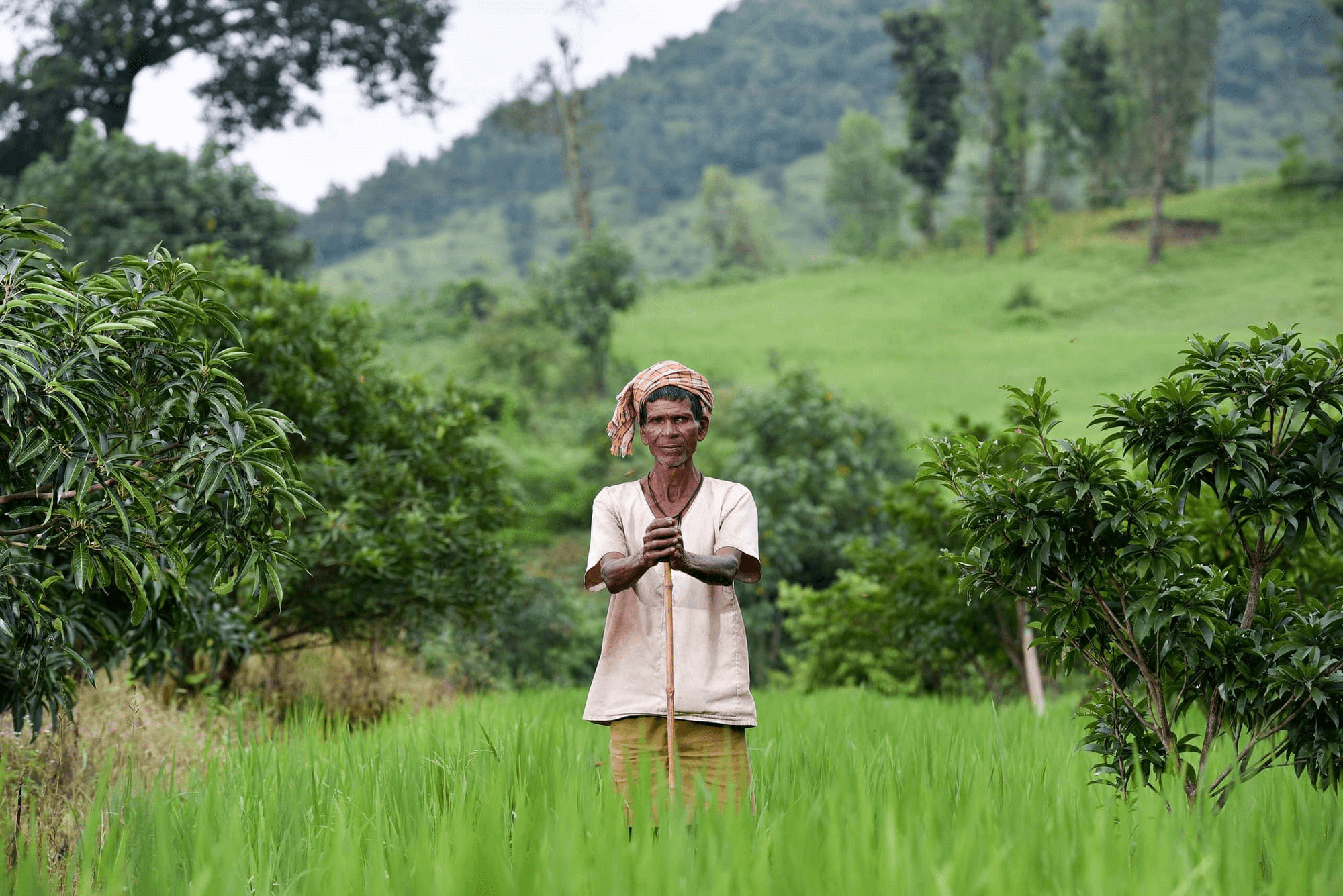
Ensure complex agroforestry systems are accurately captured.
Top 3 in Cocoa
Two Ways to Drive Verified Impact
Balanced accuracy score
1
Satelligence
67%
2
Official_CIV
64%
3
JRC-EU-V2
53%
4
ETH-Cocoa
52%
5
JRC-EU-V1
50%
6
DW
48%
7
GFC-30
47%
8
GFC-10
47%
9
ESA-WOC
46%
10
Official-GH
45%
Benchmark your maps
Independent evaluation to prove performance and support due diligence.
Confidential, unbiased assessment
Your maps are evaluated using a neutral protocol with no commercial conflicts of interest.
Consensus-validated reference data
Each data point is reviewed by multiple expert interpreters, with group review for difficult cases
Local representation of smallholder systems
Reference data captures complex agroforestry landscapes often missed by automated models.
Improve your map accuracy
Locally calibrated datasets designed to support next-generation Earth Observation models for deforestation monitoring and ethical sourcing.
High-quality reference dataset
Millions of hand-annotated GPS points for training and validating land-cover models.
Commodity-specific data
Built for applications such as coffee and cocoa supply chain monitoring.
Community-powered collection
Built and continuously updated by a trained global network of image interpreters to reduce geographic and social bias.
Open access for non-commercial use
Free for non-commercial use to support producer governments, researchers, and industry collaboration.
Why organizations choose us
Trusted by global leaders committed to building resilient, climate-smart agriculture.
For EUDR to succeed, we need to lower the burden of monitoring and reporting, and we need to ensure that longstanding smallholder farms can be reliably reported as non-deforested areas. AI combined with satellite imagery is a powerful tool that can help address these challenges, but AI systems are only as good as their training and validation data.
Dan Morris
Research Scientist, Google AI for Nature and Society
Global forest maps have advanced, but without open, standardized reference data, progress in disambiguating forest land use from other land use like cacao and coffee agroforestry remains limited. Today, initiatives like the Forest Data Partnership and DIASCA are putting efforts such as Sample Earth high on the global agenda as we work to define and standardize guidelines for open reference data collection.
Rémi d'Annunzio
Forestry Officer at FAO and product manager of Whisp
High-quality data and data-based action are the foundation for compliance with deforestation-free rules and net-zero carbon emission targets. However, highly accurate public data is rare. This poses a significant risk to all stakeholders involved. A standard to deliver highly accurate and transparent data in partnership with governments and farmers is of critical importance more than ever.
Michael Matarasso
Impact Director and Head of North America at the World Cocoa Foundation (WCF)
The coffee sector faces a real challenge in mapping millions of smallholders — a task that is critical for EUDR compliance but often out of reach for cooperatives working in remote, high-risk regions. We're excited to partner with CIAT to produce the world's first map of coffee-growing areas on a smallholder level, as a public good. By combining local ground truth data with cutting-edge satellite and AI technology, we will ensure smallholders aren’t left behind, but are instead leading the way in proving their coffee is deforestation-free — securing access to global markets while protecting their forests and livelihoods.
Niels Wielaard
CEO Satelligence
Built by CGIAR and its research partners
Sample Earth is developed by the Terra-i / Alliance Bioversity-CIAT team with over 20 years of experience in remote sensing, forest monitoring, and ethical supply chain research. We combine scientific rigour with open, inclusive tools for global impact.


Choose the right plan for your climate resilience journey.
Tailored insights to match your needs, from global overview to hyper-local asset protection.
Benchmarking
from
$ 17, 000
per geography*
Get independent, science-based benchmarking to showcase your map’s performance, build trust with clients, and support responsible sourcing and compliance.
Key features:
Independent benchmarking report for clients, auditors, and regulators
Confidence intervals and spatial error map
Consensus-validated reference data
Local smallholder agroforestry representation
*Price applied for multiple geographies benchmarking. Geography typically equals a country, except in China, Brazil, and Indonesia.
Request a Demo
Training Data
FREE
Access locally calibrated, hand-annotated datasets to train your models, reduce smallholder misclassification, and enhance deforestation monitoring.
Key features:
Evaluation of organization-specific climate risks (quantifiable)
Secure proprietary data integration
Quantifiable yield impact assessments
Strategic planning support for adaptation programs
Leverage shareable proprietary & open data for collaboration
Dedicated expert support & guidance
Access Training Data
Ready to verify your monitoring data?
Book a demo to benchmark your solution or explore available datasets.
Book a demo